Hyppää sisältöön

The hiking trails in Hämeenlinna offer opportunities for both day trips and longer treks. The Hämeen Ilvesreitti is a hiking trail network spanning over 250 kilometres, connecting the diverse nature and recreation sites of Kanta-Häme from Hattula through Hämeenlinna to Tammela and Riihimäki. Along the route, you can enjoy lake scenery, forests, ridges, and mires, and go hiking or mountain biking on trail sections of various lengths.

The Ilvesvaellus trail, running through the landscapes of Evo and Tarus, takes hikers into the heart of lakes, ponds, and forest paths. The area features both shorter routes and sections suitable for longer trips, with lean-to shelters and campfire sites located along the way. Choose a route that suits you and set out to explore the diverse nature of Häme.

Please remember to hike responsibly: ensure you leave no trace and respect the rules of the nature reserves.

Hämeen Ilvesreitti

The longest hiking trail network in Southern Finland, the Hämeen Ilvesreitti spans over 250 kilometres and connects the diverse nature and recreation sites of Kanta-Häme, from the Tenhola hill fort in Hattula to Ahvenisto in Hämeenlinna, the national parks in Tammela, and Riutta in Riihimäki.

On the trail network, you can go hiking, trekking, and mountain biking amidst lakeshores, rugged cliffs, and Lapland-style mire landscapes.

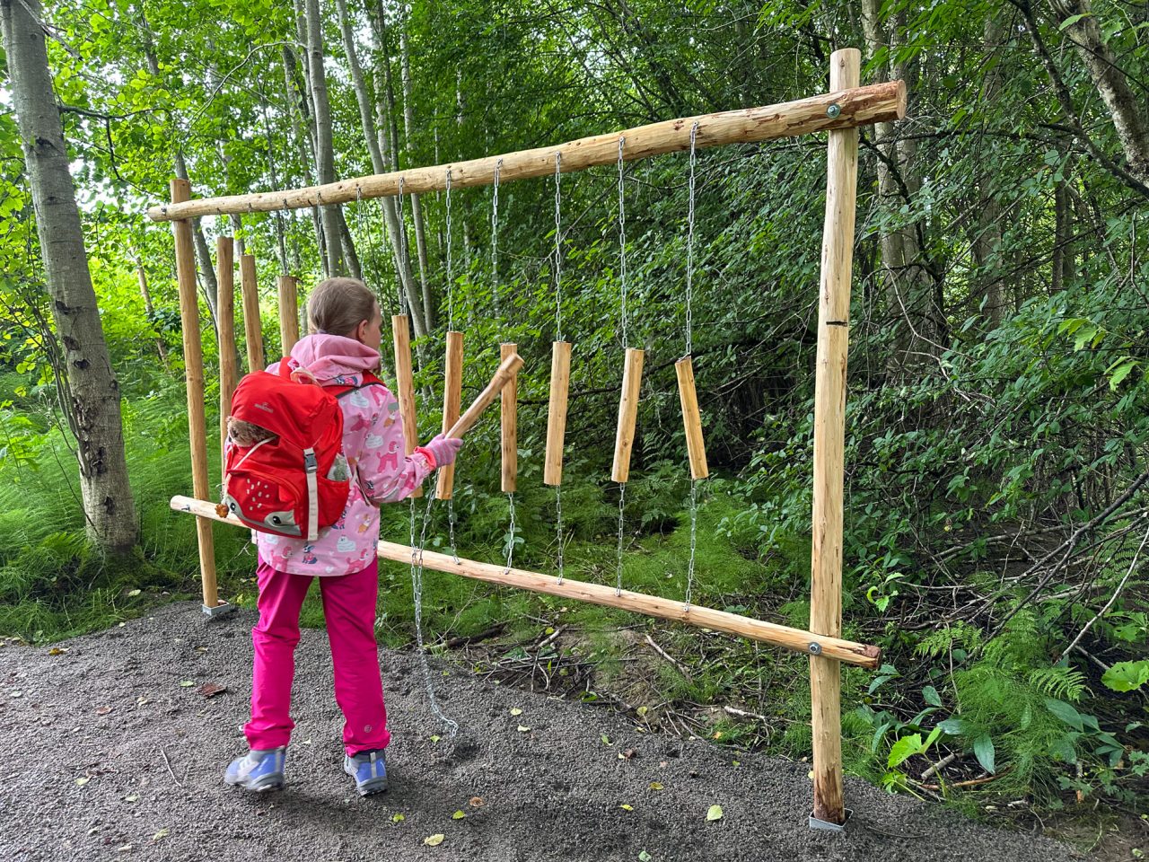
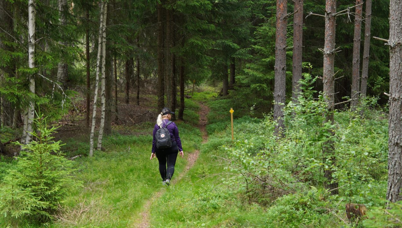
A woman walks along a path into the woods.

Häme Lynx Trail 250 km

Forssan kantatie 2070, 14300 Hämeenlinna

Hämeen Ilvesreitti on Riihimäen, Hämeenlinnan, Lopen ja Tammelan alueella kulkeva yli 250 km:n pituinen retkeilyreitti, jonka varrelta löytyy mm. virkistysalueita, uimapaikkoja, laavuja ja muita taukopaikkoja. …

Administrator: Hämeenlinna
Read more

Hämeen Ilvesreitti circular routes / day trip routes

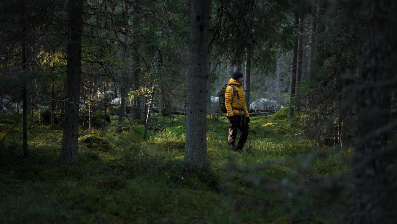
A man stands in a forest where moss covers the ground.

Pääjärven kierto (Häme Lynx Trail)

Hämeen Härkätie, 14300

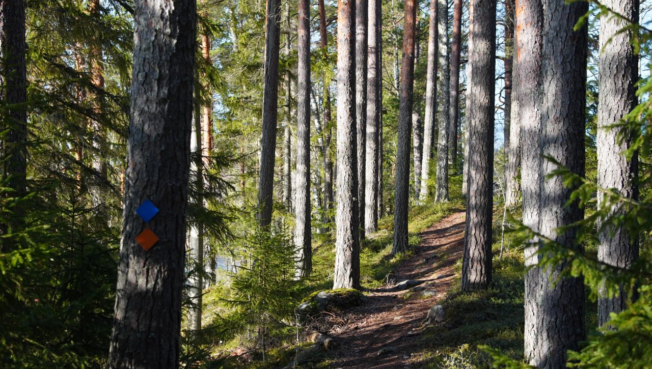
Reitti kiertää Pääjärven ympäri vaihtelevassa maastossa. Reitti on merkitty oransseilla merkeillä ja risteyksissä on opastus Pääjärven kierto. (Pidemmälle vievät pitkokset ovat veden alapuolella, kun veden pint…

Administrator: Hämeenlinna

Read more

Ilvesvaellus

Ilvesvaellus offers the opportunity to explore the diverse forest nature, ridges, and lake landscapes of the Evo and Tarus hiking areas. The marked trail network in the area is approximately 70 kilometres long, allowing hikers to choose a distance that suits them. The Ilvesvaellus connecting trail between Iso-Tarus and Evo, which links the two hiking areas, is approximately 12.9 kilometres long and takes about four hours to complete. The route mainly follows forest paths and includes some elevation changes, making it suitable for experienced hikers. The various sections of Ilvesvaellus also allow for shorter trips or extending the trek onto the wider trail network. Along the way, there are lean-to shelters and campfire sites where you can take a break and enjoy the peace of nature.

Ilvesvaellus circular routes

Nature trails, outdoor and hiking routes on the map