
Kekkurinkuja
Detailed plan alteration no. 2658.
The planning area is located in the Luolaja district of Hämeenlinna. The area is approximately 3.6 hectares (36,000 m²) in size and is bordered by Taula-Matintie to the west, Jukolanraitti to the south, a daycare property to the east, and the forest areas of Hattelmala ridge to the north. The planning area currently contains allotment gardens, as well as fields and forest. It is a building-free area owned by the City of Hämeenlinna.
The objective of the plan is to increase the number of permanent allotment gardens offered by the city, improve the parking situation for allotment garden users, and enable the construction of a sheltered housing facility on property 109-24-1-1.
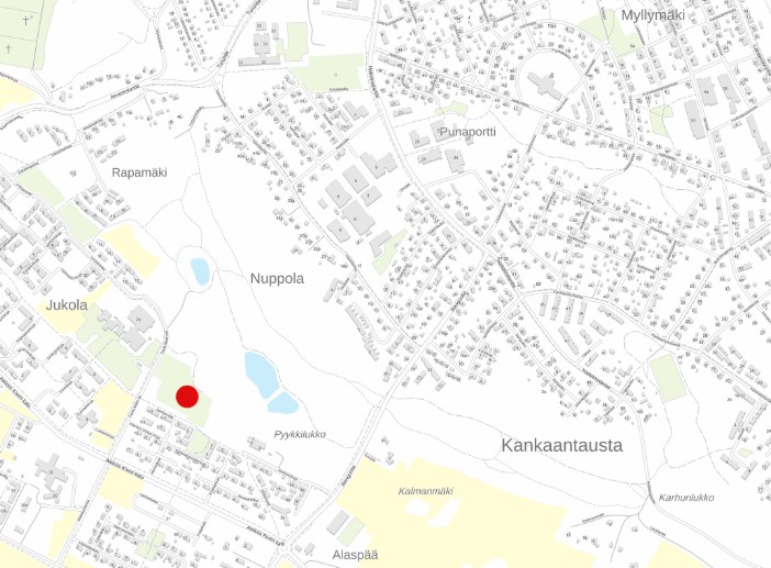
Initiation stage
The detailed plan alteration was initiated by public notice on September 25, 2025.
Draft stage
The draft phase material was on public display July 23–August 14, 2026
Zoning map, draft
Report, draft
Proposal stage
Zoning proposal by the Urban Environment Committee on September 15, 2026 and on public display September 24–October 7, 2026.