
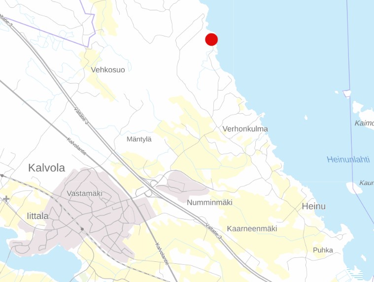
Lepaanranta
Shoreline detailed plan no. 9037.
The objective of the shoreline detailed plan is to explore the development potential of the area and examine the possibility of dividing it into separate building plots. The number of building plots will be specified as planning progresses. The boatyard with its piers is intended to remain in public use. The remaining part of the area will be designated for agriculture and forestry.
During the planning process, the natural values of the area will be reviewed and a base map for the plan will be prepared.
Contrary to the preliminary schedule presented in the participation and assessment plan, zoning will continue later. Progress on the zoning will be communicated separately when the draft is completed.
Initiation stage
The preparation of the detailed plan was initiated on June 17, 2020.
Draft stage
The Urban Environment Committee decided on March 10, 2026 to display 3 different alternatives for a period of 30 days.
The material was on display from March 18 to April 16, 2026.
Zoning map A, draft February 23, 2026 (pdf)
Zoning map B, draft February 23, 2026 (pdf)
Zoning map C, draft March 11, 2026 (pdf)
Description, draft March 11, 2026 (pdf)
Proposal stage
The Urban Environment Committee decided on September 15, 2026 that alternative C will be displayed.
The zoning proposal is on display from August 24 to October 23, 2026.